
Snow Report
7 Day Snow Totals

24 Hour Snow Totals


Avalanche Report
Click image/link for report

Weather Stations
Teton Pass
Elev 8,428 ft
Thu Jul 16 @ 11:12 AM

Temp: Red Line
Wind: Light Gray Area
Wind Gust: Light Blue Area
Wind Dir: Orange Circles
Temp:
62.6º F
Wind Dir:
SW
Wind Spd:
2 mph
Timeframe:

Weather Station Loading...
Weather Station Loading...
Weather Station Loading...
Weather Station Loading...
Weather Station Loading...
Weather Station Loading...
Weather observations are graciously provided and aggregated by Synoptic Data
Weather Forecasts
Teton Pass
Elev 8,472 ft
Thu Jul 16 @ 4:32 PM

Temp: Red Line
Wind: Light Gray Area
Wind Gust: Light Blue Area
Wind Dir: Orange Circles
| Today | Tomorrow | Saturday | Sunday | Monday | Tuesday | Wednesday |
|---|---|---|---|---|---|---|
|
|
|
|

|
|

|
|
|
Showers Likely then Partly Cloudy |
Partly Sunny then Showers Likely |
Sunny then Slight Chance T-storms |
Sunny |
Mostly Sunny then Slight Chance T-storms |
Showers Likely |
Chance Showers then Chance T-storms |
| Hi °F | Hi 68 °F | Hi 68 °F | Hi 70 °F | Hi 71 °F | Hi 67 °F | Hi 64 °F |
| Lo 55 °F | Lo 55 °F | Lo 56 °F | Lo 57 °F | Lo 58 °F | Lo 56 °F | Lo 56 °F |
Weather Forecast Loading...
Weather Forecast Loading...
Weather Forecast Loading...
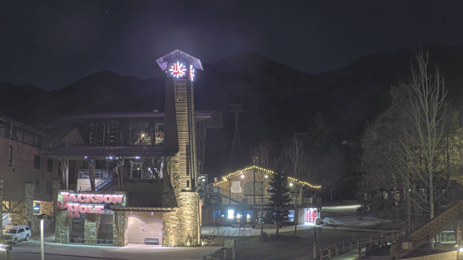
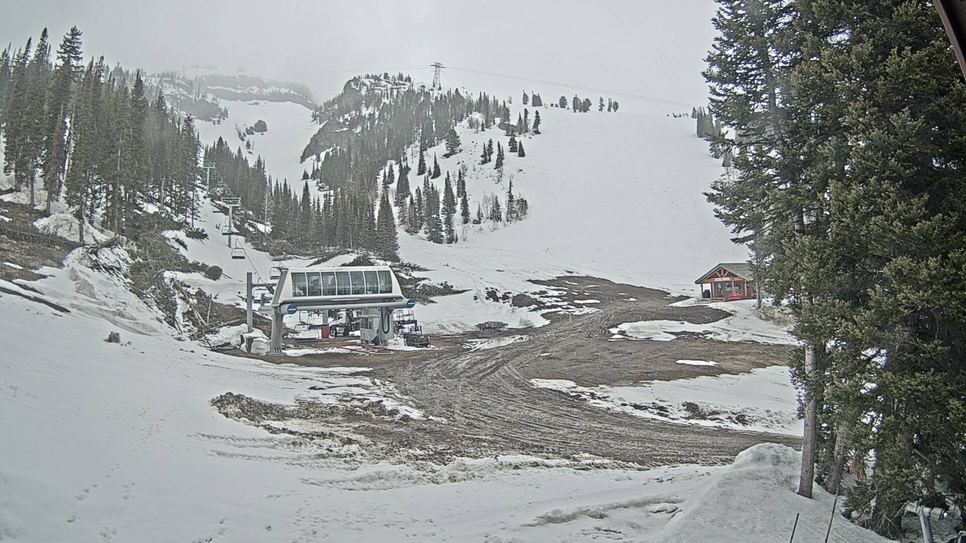
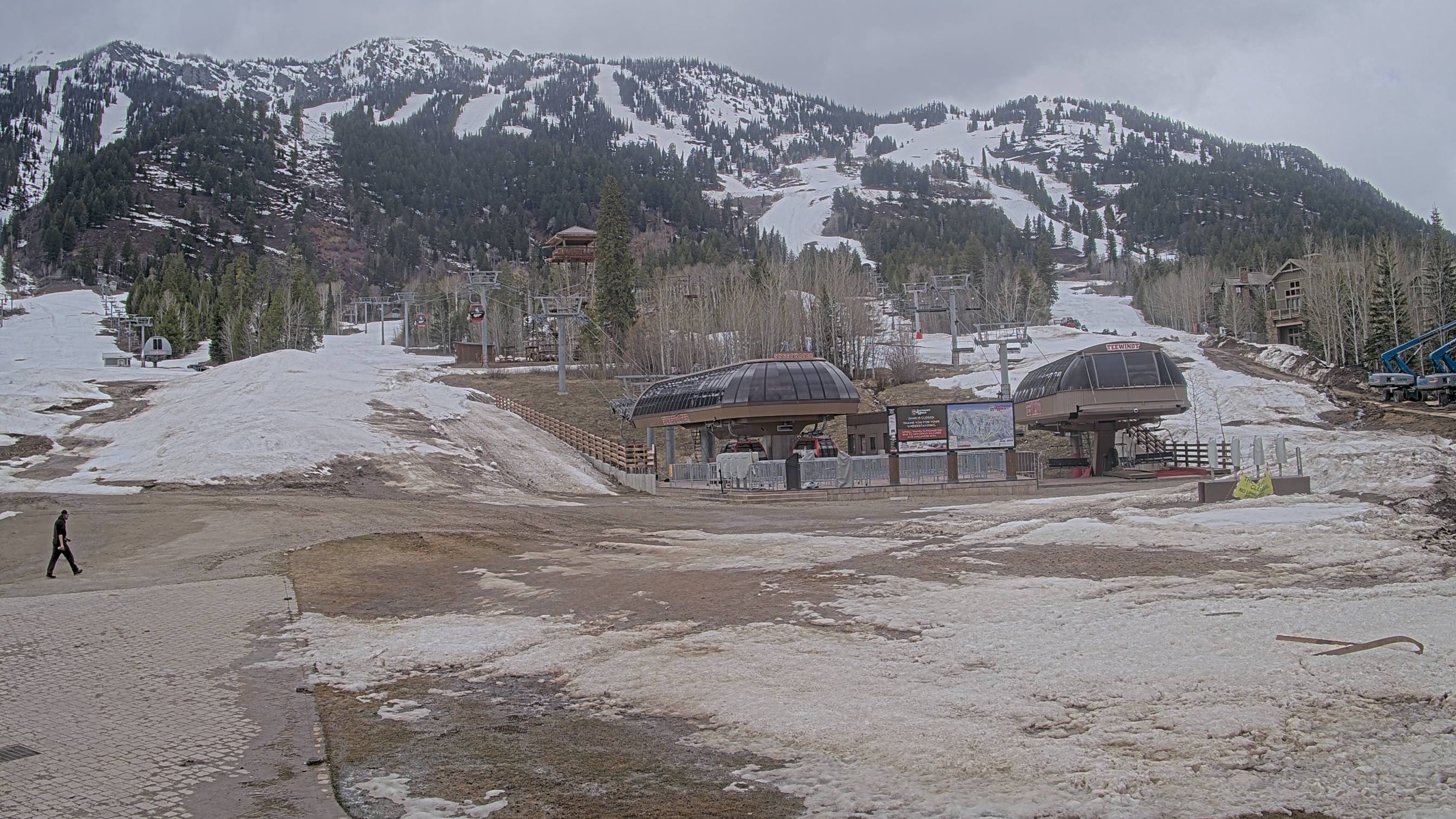
Web Cams
| JHMR - Tram Station | JHMR - Cody Bowl |
|---|---|
|
|
| JHMR - Sublette Base | JHMR - Teewinot/Sweetwater |
|
|
| Grand Targhee - Base | Grand Targhee - Dream Catcher |
|---|---|
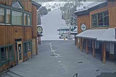
|
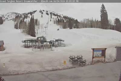
|
| Grand Targhee - Stick Of Truth | Grand Targhee - Summit |
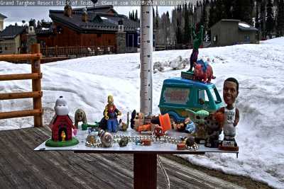
|
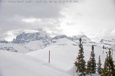
|
| Teton Pass - East | Teton Pass - West |
|---|---|
|
|
|
| Teton Pass - Glory | Teton Pass - Jackson |
|
|
|